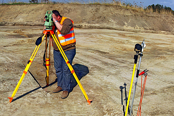
The company, through data processing in Cloud and sophisticated GPS systems of the latest generation (Base + Rover and Total Station) is able to perform high-precision surveys, performs splitting, stacking, data processing and surveying plano- altimetric land and buildings, reconfiguration and on-site tracing of borders, foundations and overhead power lines.
Topography and Cadastre
We are able to perform surveys with high precision, fractionation, stacking, data processing and plano-altimetric surveys of land and buildings, reconfiguration…


